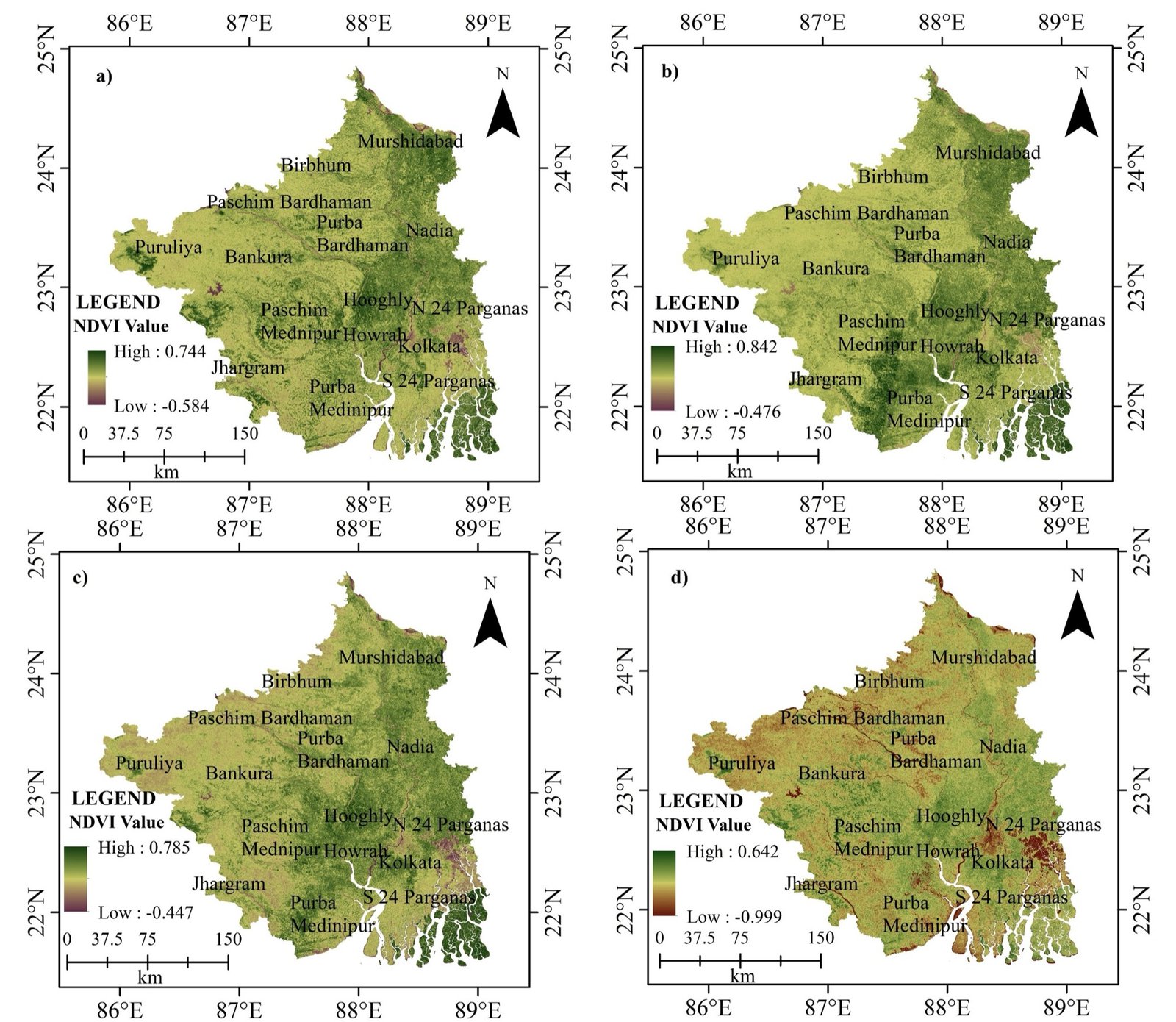
01 / 13NDVI · southern West Bengal, four dates
Research level
Digital image calculations, database querying, Python scripting and Google Earth Engine workflows — a skill stack taught in sequence.
Python basics, vector and raster processing, workflow automation, Shapefile/GeoJSON/GeoPackage.
Classification, OBIA, segmentation, accuracy assessment, time series and change detection.
SAR fundamentals, pre-processing, InSAR, deformation, flood and biomass mapping.
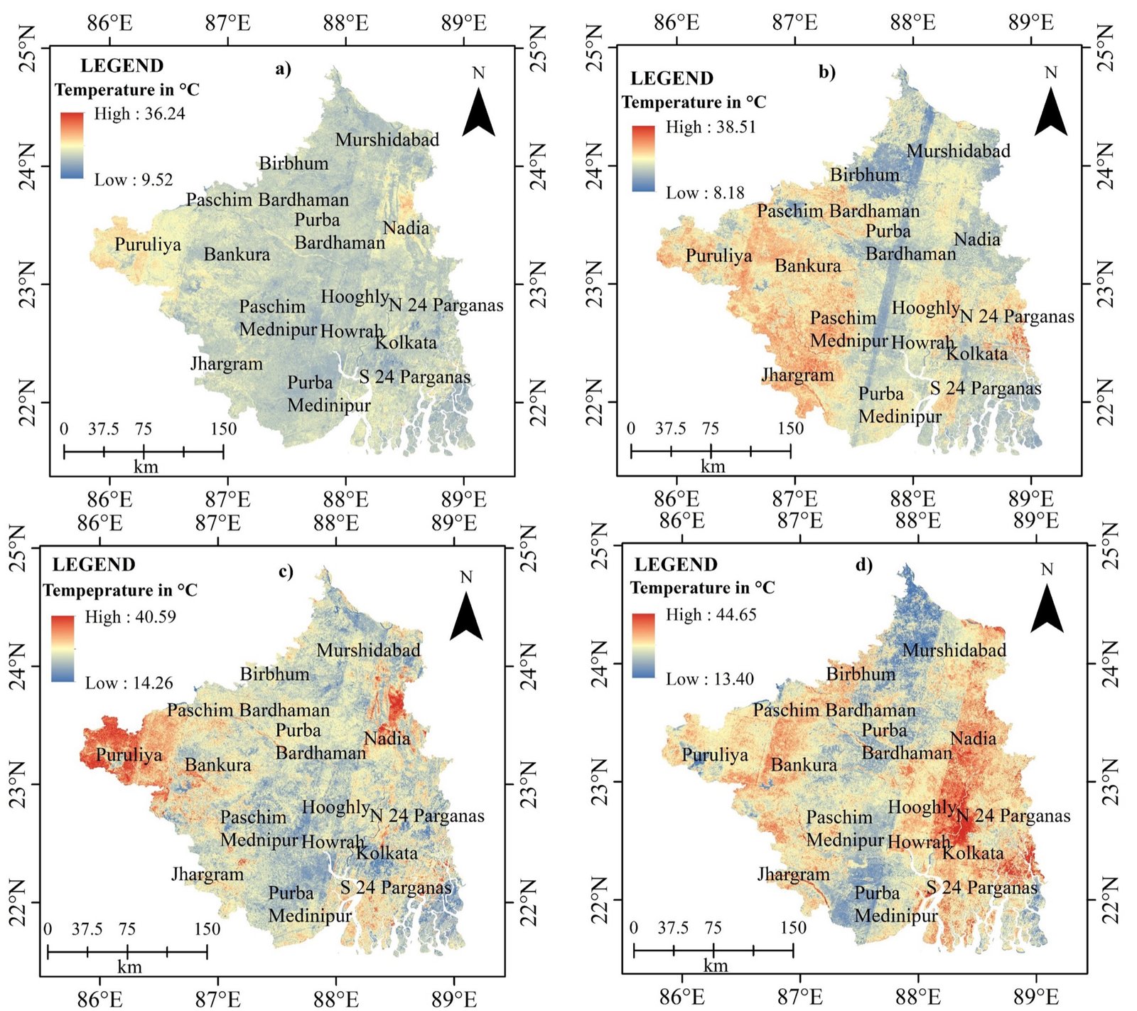
LST retrieval, urban heat islands, drought and wildfire, evapotranspiration, energy balance.
Cloud processing, global datasets, time series, JavaScript and Python APIs, publishing results.
DEM/DSM, slope and aspect, hillshade, watersheds, contours, viewsheds and 3D visualisation.
Mission planning, GCPs, point clouds, orthomosaics, 3D meshes and volumes.
Spatial statistics, hotspots, Moran's I, network routing, MCDA, suitability and SDSS.
ML classification, deep learning, CNN object detection, segmentation and validation.
Web maps and apps, PostgreSQL/PostGIS, GeoServer, cloud hosting and dashboards.
Research methods, study-area selection, scientific writing, MSc/M.Tech/PhD dissertations and career prep.
DN → TOA → surface reflectance, and NDVI = (NIR − Red) / (NIR + Red) with land-cover ranges.
Spatial types, GiST indexing, and finding stations within 50 km of a hazard zone in EPSG:32644.
IDW, Kriging, Spline, Natural Neighbour and Trend Surface compared on accuracy and speed.
GeoPandas, Rasterio, GDAL, Shapely, ArcPy and PyProj — plus sf in R.
Landsat, Sentinel-2, MODIS, SRTM, ERA5 and CHIRPS — and a Sentinel-2 NDVI median composite.
A friendly, hands-on introduction to satellites, sensors, coordinate systems and your first maps in QGIS.
Automate vector and raster workflows with GeoPandas, Rasterio and GDAL — and never click through the same task twice.
Analyse decades of Landsat and Sentinel imagery in the cloud — time series, composites and land-cover classification.