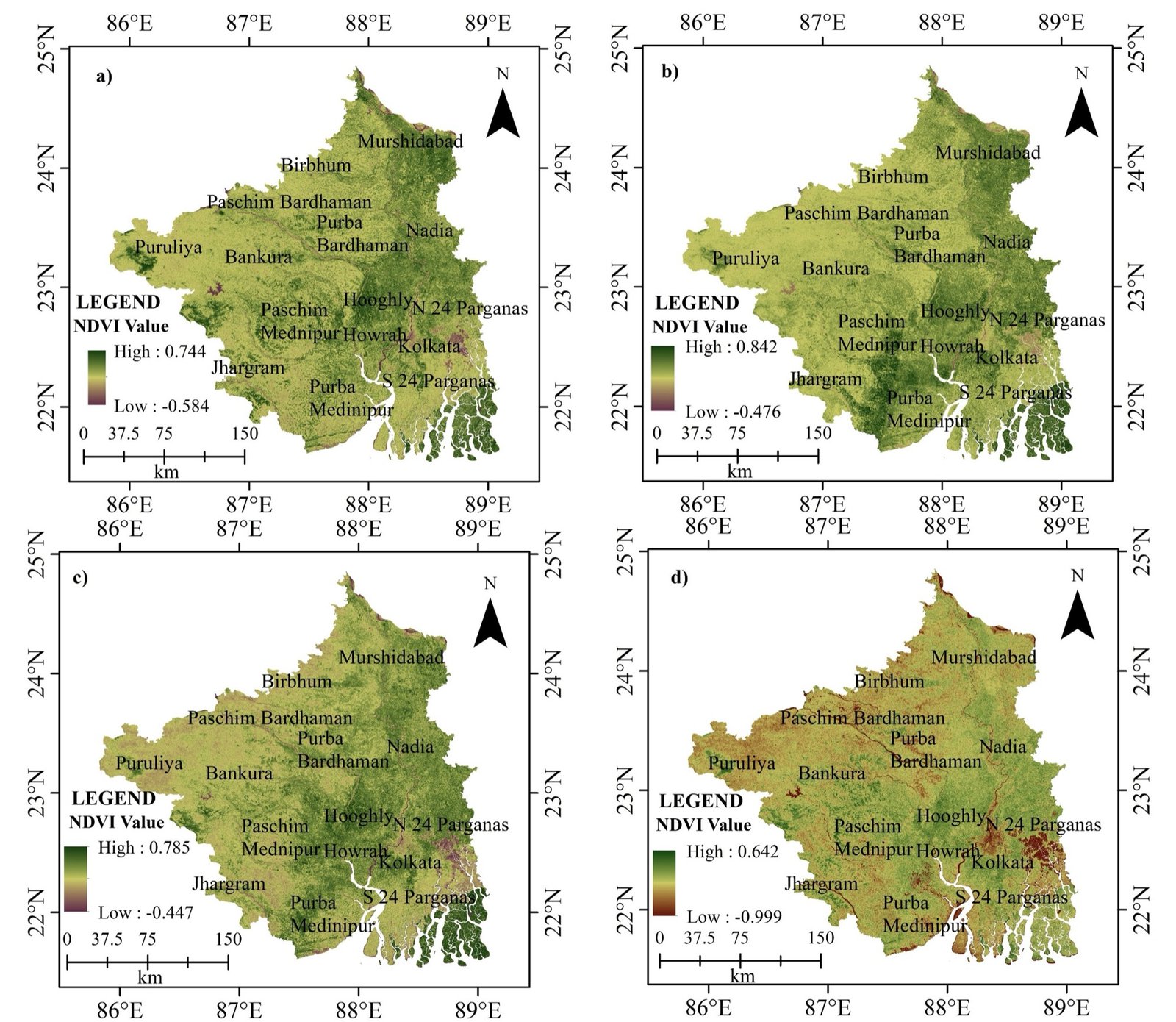
01 / 13NDVI · southern West Bengal, four dates
Models & methods
How models turn geospatial observations into scientific understanding and prediction.
How water moves across landscapes — rainfall, runoff, erosion, floods, groundwater and river flow.
Analyse land transformation over time with imagery, GIS and socio-economic data.
Ecosystem dynamics, biodiversity, habitat quality and human impacts.
GIS, ML, AI and statistics as decision-support tools.
Satellite observations for climate, disasters, agriculture and resources.
Transport, location analysis, geostatistics, digital twins and logistics.
Our mentors can guide your methodology — for free.