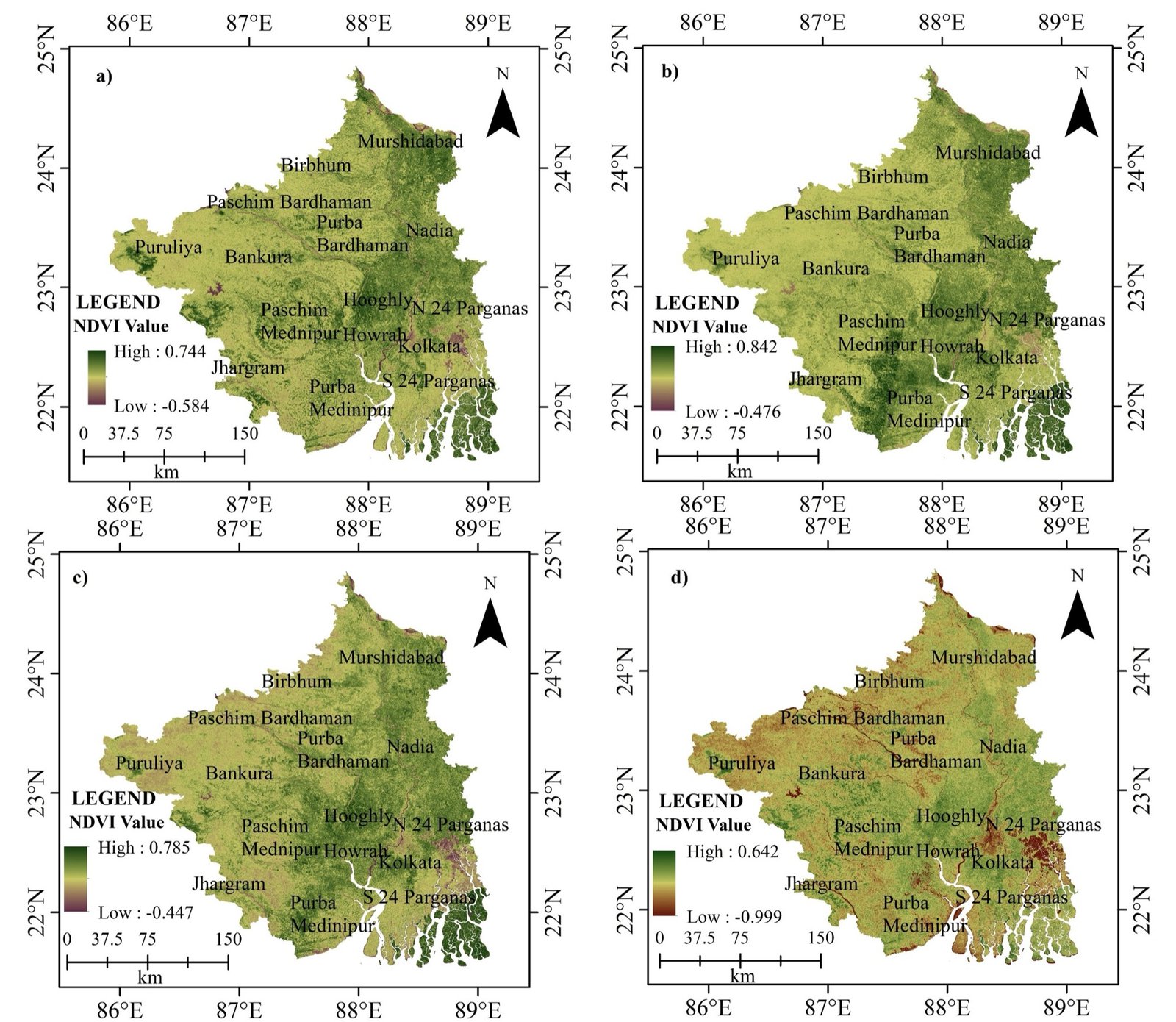
01 / 13NDVI · southern West Bengal, four dates
Beginner geospatial lessons
Build a foundation in remote sensing, Earth orbits, sensor systems and coordinate-based map layouts — one step at a time.
Geoinformatics, GIS, remote sensing and spatial technologies in eight steps.
What geoinformatics is, why maps matter, and how location intelligence solves real-world problems.
Coordinate systems, datums, projections, scale and why spatial data needs reference systems.
Turning spatial information into clear, professional maps using design principles.
How geographic data is stored, managed and analysed.
Practical work in professional GIS software on maps, layers, analysis and workflows.
How satellites observe Earth — sensors, electromagnetic radiation, resolution and applications.
Searching, downloading and managing free satellite imagery and geospatial datasets.
A real-world project: data collection, analysis, mapping, visualisation and presentation.
You are GIS-ready. Next: advanced GIS, Python, WebGIS, Google Earth Engine, drone mapping and GeoAI.
Passive vs active sensors, platforms and how an image is formed.
Visible, NIR, SWIR, thermal and microwave — and what each reveals.
Sun-synchronous vs geostationary orbits and revisit time.
Geographic vs projected systems, EPSG codes and UTM zones.
Tone, texture, pattern, shape, size, shadow and association.
Move on to Python, SAR, Earth Engine and GeoAI.