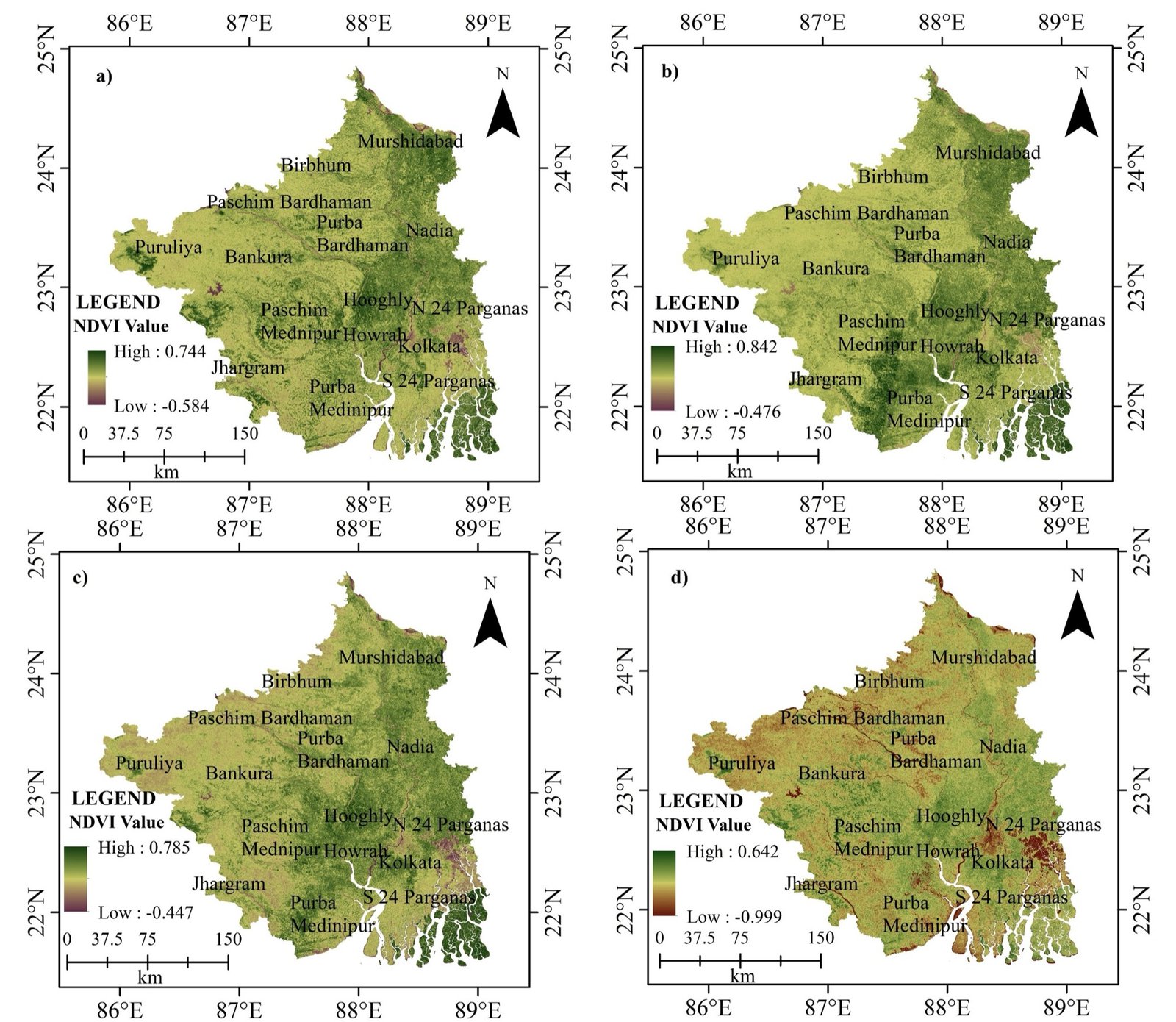
01 / 13NDVI · southern West Bengal, four dates
Commercial suites & cloud computing
Industry-standard commercial GIS, remote sensing suites and cloud geoprocessing platforms.
Esri’s flagship GIS for mapping, analysis, geoprocessing, 3D and enterprise GIS.
Digital image processing for satellite, aerial, drone and LiDAR data.
Cloud platform with decades of satellite, climate and elevation data.
A friendly, hands-on introduction to satellites, sensors, coordinate systems and your first maps in QGIS.
Automate vector and raster workflows with GeoPandas, Rasterio and GDAL — and never click through the same task twice.
Analyse decades of Landsat and Sentinel imagery in the cloud — time series, composites and land-cover classification.