IKI Geospatial Research Institute
Industry-oriented internships combining academic learning with real-world geospatial projects and scientific investigation.
Geography, Geology, Environmental Science, Civil, CS, Agriculture, Surveying, Planning.
GIS, Remote Sensing, Geoinformatics, Earth Science, Urban Planning, Spatial Sciences.
Surveying, mapping, computer applications, civil engineering, geospatial technology.
Collaborative research and advanced methods.
GIS, Remote Sensing, Earth Observation, GeoAI.
Work on live research projects with mentors from academia and industry, and leave with a certificate, real outputs and guidance on publishing your work.
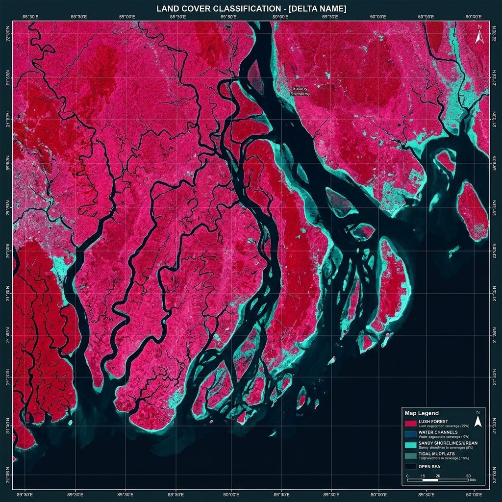
Remote Sensing, GIS, Python, Google Earth Engine, DGPS, Drone Mapping and Fluvial Field Techniques. Job-oriented • Skill-based.
Item | Details |
|---|---|
Programme | B.A./B.Sc. Geography (Major), NEP-CCF, University of Calcutta |
Course Type | Internship (INT) |
Credits / Hours | 2 credits (L-T-P: 0-0-2) = 60 hours of engagement (1 credit = 30 hours) |
Full Marks | 50 (entirely internal, practical and continuous assessment) |
Semester | Semester II / IV (as notified by the University) |
Mode | Computer lab + field work (4–5 days) + physical geography laboratory |
Group Size | Individual work for skill modules; groups of 3–4 for field project |
Prerequisite | Basic cartography and physical geography |
Geospatial technology and field-based environmental measurement are among the fastest-growing employment areas for Geography graduates. This internship combines digital skills (Remote Sensing, GIS, Python and cloud computing through Google Earth Engine) with professional field instrumentation (plane table, levelling, Total Station, DGPS, drone mapping, current meter and echo sounder), sediment analysis and water quality testing. Students work on a real river or landscape problem from start to finish and leave with a portfolio of maps, code and data that demonstrates job-ready competence.
Build job-ready skills in Remote Sensing, GIS, cloud geospatial computing (Google Earth Engine) and basic Python.
Train students to operate professional field instruments: plane table, auto/dumpy level, clinometer, Total Station, DGPS/GNSS, drone (UAV), current meter and echo sounder.
Develop competence in measuring stream velocity and discharge, and in field and laboratory sediment and water quality analysis.
Integrate field, satellite and computational data to solve a real geographical problem.
Build professional skills in reporting, presentation, teamwork and digital portfolio creation.
Unit | Title | Type | Hours |
|---|---|---|---|
Phase A: Pre-field digital skills (22 hours) | |||
1 | Orientation, Safety, Career and Daily-Life Perspective of Geography | Lab | 3 |
2 | Remote Sensing and GIS Essentials | Lab | 7 |
3 | Basic Python for Geospatial Data | Lab | 6 |
4 | Google Earth Engine (Cloud Remote Sensing) | Lab | 6 |
Phase B: Field work (23 hours, 4–5 field days) | |||
5 | Field Survey Instrumentation (Plane Table, Levelling, Total Station, DGPS and Drone) | Field | 10 |
6 | Stream Velocity and Discharge Measurement | Field | 7 |
7 | Sedimentary Structures and Sediment Sampling | Field | 6 |
Phase C: Post-field analysis and output (15 hours) | |||
8 | Laboratory Sediment and Water Quality Analysis | Lab | 6 |
9 | Data Integration, Web Mapping, Report and Portfolio | Lab | 9 |
Total | 60 | ||
Skill Gained | Job Roles | Possible Employers / Sectors |
|---|---|---|
QGIS mapping, digitisation, cartography | GIS Technician, GIS Analyst, Map Digitiser | NATMO, Survey of India, municipal bodies, private GIS firms |
Satellite image processing, Google Earth Engine | Remote Sensing Analyst, Geo-data Analyst | ISRO regional centres, research institutes, agri-tech and climate start-ups |
Python for geospatial data | Junior Geospatial Data Analyst | IT and geospatial companies, analytics firms |
Plane table, levelling, Total Station, DGPS | Surveyor, Total Station/DGPS Operator, Land Survey Assistant | Construction and infrastructure firms, PWD, land records, consultancies |
Drone mapping and photogrammetry | UAV Pilot (with certification), Drone Data Processor | Drone survey companies, SVAMITVA-type land mapping projects, mining and infrastructure |
Current meter, echo sounder, discharge measurement | Hydrology/Hydrographic Field Assistant | Irrigation & Waterways Department, Central Water Commission, port and water resource consultancies |
Sediment and water quality analysis | Laboratory Technician, Environmental Field Assistant | Pollution control boards, EIA consultancies, soil, water and material testing labs |
Mobile data collection | Field Data Coordinator | NGOs, disaster management agencies, survey organisations |
Tell us your course, institution, interests and preferred duration. We will share current openings.
Fastest reply on WhatsApp
Typically replies within an hour
Start chat →
Visit Internship & Placement and send us your details through the enquiry form or WhatsApp. Our team will share current openings, duration and the selection process.